
Check Your Placer County Neighbor Circle
A block lookup needs a spatial rule before it needs a name. “Neighbors” might mean parcels sharing a boundary, parcels across the street, units inside one condominium parcel, or addresses in a larger community group. State the rule in your notes. Then select a source that can support it.
Placer County GIS and parcel tools are strongest for the first step. The tax record can show the fields lawfully displayed for a parcel. The Recorder can show transfer parties and dates. A permit can show work and named project participants. None of those layers proves who currently occupies a nearby parcel. A registered voter or association officer is also a narrower record role.
| Block source | What it shows about nearby parcels | Access |
|---|---|---|
| GIS parcel layer | Target and adjacent geometry, APNs, map context | Free map and data tools |
| Tax account | Parcel, situs, and lawfully displayed ownership or mailing fields | Address/APN route |
| Recorder index | Transfer parties, instruments, and recording dates | Free index; images counter or copy |
| Permit files | Address work history and named public project participants | City, county, or CPRA route |
| Approved voter file | Residence, mailing, precinct, and allowed data fields | Application, purpose, fee |
| Community contact page | Public officers, meetings, or organization contacts | Organization or public page |
A block table should describe the source and its limit in the same row. That keeps a parcel owner from silently becoming a neighbor, and a public officer from silently becoming a member list.
Click Parcels Sharing an Edge
The adjacent-parcel method is repeatable. Open the Placer GIS open-data map, make the parcel layer visible, and locate the target by address or APN. Click the target and copy the APN. Then click every parcel sharing an edge. Add a separate pass for relevant parcels across the street. Open each official tax record rather than relying on a map label.
- Define nearby as shared edge, across street, or another stated spatial rule.
- Locate the target address and record the target APN, situs, and jurisdiction.
- Identify adjacent polygons and save each APN without collapsing units or lots.
- Open the authoritative tax record for each parcel and keep owner, mailing, and situs fields separate.
- Use the Recorder or permit custodian only when a transfer or development question remains.
This process makes the map a selection tool, not a people directory. Aerial imagery can orient the block, while parcel geometry defines the tax lots. The county's GIS gateway links additional mapping resources.
Across the Street in Placer County GIS
Across-street parcels are a spatial choice, not a default neighbor relation. A wide road, corner, alley, creek, or common area can make the visual scene different from the tax map. Record the choice and the map scale. If a parcel has no clear edge with the target, label it “across street” or “nearby,” not adjacent.
GIS controls vary by app. Search or address autocomplete may zoom to a target. APN queries may be available on one layer. Basemap, layer panel, identify pop-up, measure, and select controls can change as the county updates an ArcGIS app. Save the dataset or map title with each observation.
| Map control | Block-use question |
|---|---|
| Search or address | Can the target parcel be located without guessing? |
| Layers | Is the parcel, boundary, or jurisdiction layer visible? |
| Identify pop-up | Does the click expose an APN or official link? |
| Basemap | Does street or aerial context clarify the across-street choice? |
| Pan and zoom | Can every relevant polygon be checked at the same scale? |
Condo Parcels Break the Block Model
One mapped parcel can contain many units, while condominiums can have individual APNs stacked inside one building footprint. A parcel neighbor is therefore not the same as a unit neighbor. Use the tax and GIS record to learn whether the map shows a master parcel, separate units, or another arrangement. Do not infer occupants from a shared polygon.
The same caution applies to a multi-unit address, a business parcel, a common area, or a corner lot. The Recorder may show an owner or association instrument. A permit may name an applicant or contractor. Neither source supplies a complete list of nearby households.
When the goal is a full named street rather than an immediate block, move to the Placer County street directory workflow. The street page owns the parcel-by-parcel address chain; the neighbor lookup stays focused on a defined radius or block.
Open Each Placer County Tax Record
After GIS produces nearby APNs, open the official account for each parcel. The tax inquiry documents a 12-digit Fee Parcel Number and 12-digit Assessment Number route. Keep the situs, owner mailing address, assessment year, and legal description separate. A map label is not an authority if the linked account says something else.
California Government Code §7924.205 limits Internet posting of assessor ownership information by an assessee-name search. That is why a block lookup should not promise a name-first owner list. Use the parcel or address route where supported, and describe the displayed field accurately. An owner mailing destination may be a third-party contact or an address outside the parcel.
The Placer property tax search is one link in the chain. Its data reflects the January 1 lien date, and a Recorder transaction may precede a later roll update.
Placer County Voter Data Is Restricted
California My Voter Status is a self-authentication screen. It asks for first name, last name, full date of birth, and a California driver license or ID number or last four Social Security digits. It reports the authenticated person's registration and election information. It does not allow an ordinary visitor to browse nearby voters.
A qualified voter-file request can include residence, mailing, precinct, party preference, and optional participation history, but Elections Code §2194 and 2 CCR §§19001–19013 control the purpose and release. Placer's 2025 application describes countywide, precinct, walking-list, history, label, and delivery choices. The statewide file fee is $100; up to ten identified records cost $30 per record, capped at $100. Confidential voters and specified identity fields are excluded.
Read the California voter-file request rules and the state application form before treating an approved file as a possible block source. Placer's 2025 county application describes local list choices. Commercial reuse and harassment are not lawful purposes.
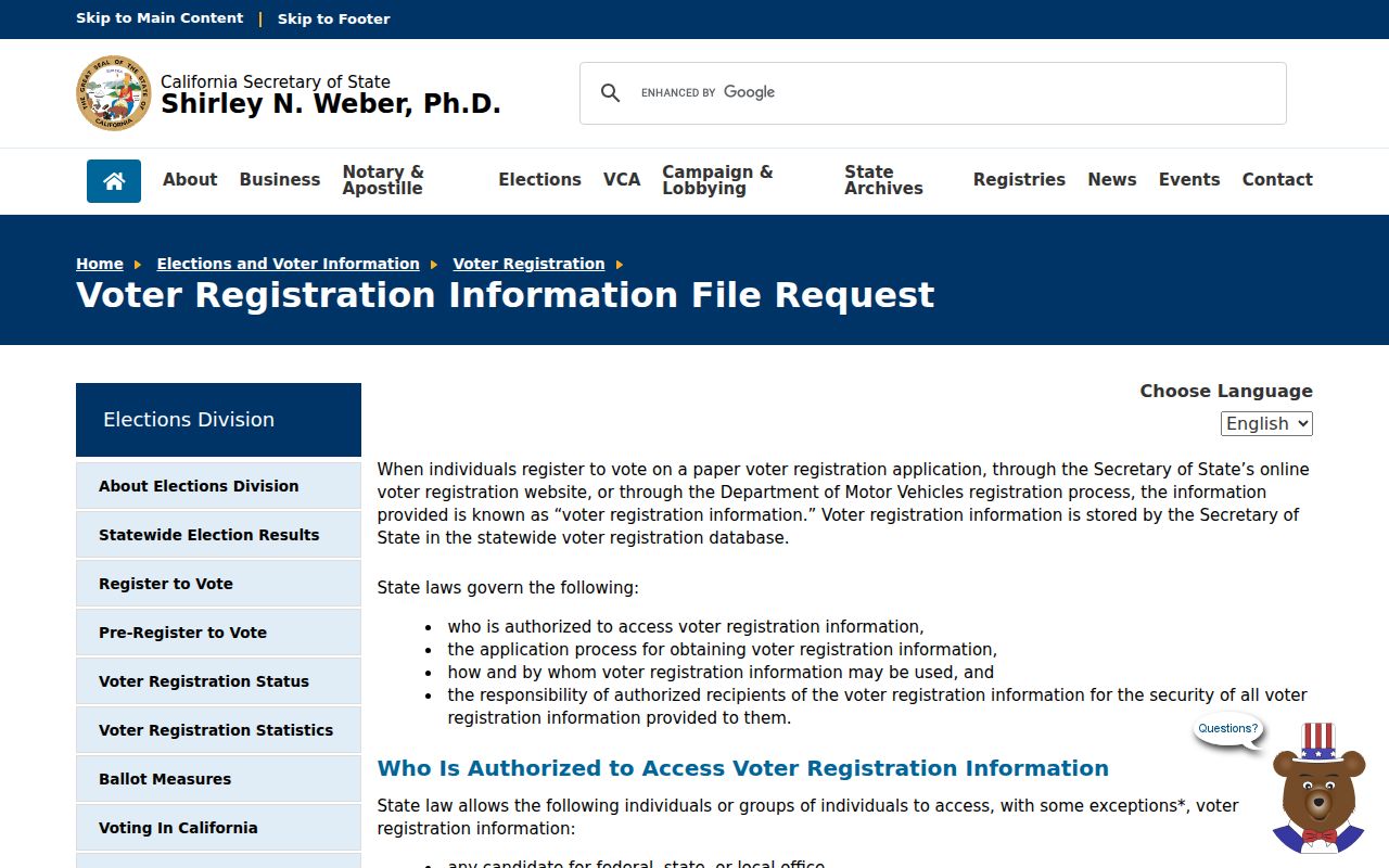
The voter-file reference shows the application route, which is fundamentally different from a public neighbor browser. Use the exact approved purpose and data scope.
Placer County Community Contacts
Community records are decentralized. Placer's official inventory lists 13 Municipal Advisory Councils. Fire Safe Councils, Tahoe community organizations, municipal commissions, neighborhood groups, and HOA public pages may publish a board, meeting record, or management contact. The public contact is not a member roster. The research located no authoritative countywide association directory.
| Community layer | Useful public detail | Boundary |
|---|---|---|
| Municipal Advisory Councils | Community area, meetings, public contacts | Not a household list |
| Fire Safe Councils | Safety meetings, officers, local projects | Participation is not universal |
| Tahoe community groups | Meeting records and public organizational contacts | Community scope varies |
| HOA or neighborhood page | Board or management contact, notices | Member information may be private |
| Municipal commission | Public officials and agendas | Official capacity only |
Use the Placer County Municipal Advisory Councils inventory to identify the public community layer. Ask an organization for its own contact rules rather than treating a public officer page as a resident directory.
Use Permits to Read a Placer Block
Permit files can show how a block changed. A permit may contain a site address, APN, project type, issue or final date, valuation, owner, applicant, or contractor fields. Those fields describe the project. They do not prove that the named person lives at the parcel or that the work affected every nearby lot.
Confirm jurisdiction first. County Community Development handles unincorporated property, while incorporated parcels may use Auburn, Colfax, Lincoln, Rocklin, Roseville, or Loomis systems. Placer's Permit Research page includes Building, Planning, Engineering, Sewer, Public Works, Tahoe permitting, and Land Capability Verification modes. The dedicated unincorporated request asks for an APN and site address and gives current timing and copy guidance.
Use the county permit research instructions to see whether the block question needs a portal search, electronic document search, or records request.
Official Rolls Versus Compilation Tools
Official sources are narrow but traceable. A tax account is tied to a parcel. A deed has a recording reference. A court case has a docket. A voter file has a legal purpose. A community page identifies an organization. Commercial compilation tools may combine public and purchased data, charge for access, repeat stale information, or merge same-name people. They are not substitutes for the custodian.
| Route | Strength | Risk to a neighbor lookup |
|---|---|---|
| Official GIS and tax | Parcel and jurisdiction control | Owner record is not occupancy |
| Recorder index | Recorded party and date | Does not show everyone nearby |
| Approved voter file | Defined residence fields | Purpose, approval, fee, exclusions |
| Community page | Public organization contact | No complete member roster |
| Commercial compilation | May offer a broad lead | Stale, costly, or conflated results |
Privacy Limits on a Placer County Neighbor Lookup
Nearby owners are not nearby occupants, and an official parcel result is not permission to identify or contact a household. The Driver's Privacy Protection Act restricts DMV personal data. California voter law excludes confidential voters and limits approved-file use. Safe at Home gives eligible participants a substitute address and confidential handling. Registry and law-enforcement sources have their own use warnings and are not general resident lists.
The Safe at Home program explains why a protected residence may not appear in public-facing records.
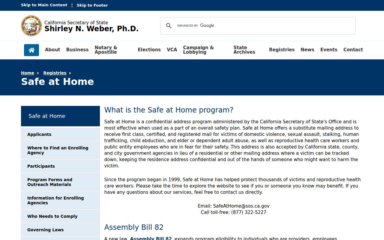
The Safe at Home reference is a reminder that a missing address can be an intentional protection, not a search failure. Do not attempt to connect the substitute address to a residence.
California's Megan's Law site is a separate registry with name and map modes, use warnings, and statutory limits. It is not a complete criminal-history or neighbor directory.
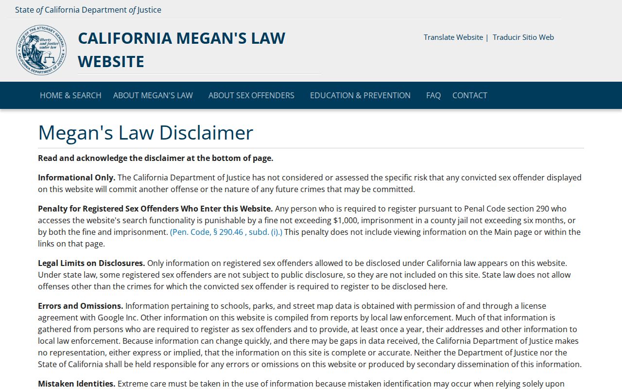
The registry reference belongs to a specific public-safety question, not a broad search for everyone on a block. Verify current rules at the official source.
Lawful use. Use a Placer County neighbors lookup for parcel history, civic understanding, community contacts, genealogy, or personal safety planning. Do not use records to stalk, harass, intimidate, threaten, or repeatedly contact anyone. Respect protected addresses, confidential voters, and redacted files.
For a full named-street chain, use the street address method. For a one-person question, use the resident lookup and require two matching attributes before joining records.