
Placer County ZIP Codes and Coverage
The official workforce profile groups Placer ZIP codes into South Placer/Valley, Foothills, and East Placer/Tahoe. The list below is a research framework, not a guarantee that every delivery point stays inside the county. ZIP boundaries can cross county lines, and a postal city can describe an unincorporated community. Verify a specific address with USPS and then use parcel GIS for records custody.
| ZIP | Principal area or postal place | Region | Research note |
|---|---|---|---|
| 95602 | North Auburn and Auburn rural | Foothills | Verify parcel jurisdiction. |
| 95603 | Auburn | Foothills | Postal area includes nearby county territory. |
| 95631 | Foresthill | Foothills | Mountain service area. |
| 95648 | Lincoln | South Placer | City and surrounding development. |
| 95650 | Loomis | South Placer | Town and surrounding postal area. |
| 95658 | Newcastle | Foothills | Unincorporated postal community. |
| 95661 | Roseville | South Placer | East Roseville. |
| 95663 | Penryn | South Placer | Unincorporated postal community. |
| 95677 | Rocklin | South Placer | Older or central Rocklin area. |
| 95678 | Roseville | South Placer | Central and north Roseville. |
| 95681 | Sheridan | South Placer | Rural area; verify county edge. |
| 95701 | Alta | Foothills | I-80 mountain corridor. |
| 95703 | Applegate | Foothills | Unincorporated. |
| 95713 | Colfax | Foothills | Postal area exceeds city limits. |
| 95714 | Dutch Flat | Foothills | Historic mountain community. |
| 95715 | Emigrant Gap | Foothills | Sierra corridor. |
| 95717 | Gold Run | Foothills | Sierra corridor. |
| 95722 | Meadow Vista | Foothills | Unincorporated. |
| 95746 | Granite Bay | South Placer | Postal community, not an incorporated city. |
| 95747 | West Roseville | South Placer | Growth area with subdivision changes. |
| 95765 | Rocklin | South Placer | North and east Rocklin. |
| 96140 | Carnelian Bay | East Placer/Tahoe | North shore community. |
| 96141 | Homewood | East Placer/Tahoe | West shore area. |
| 96143 | Kings Beach | East Placer/Tahoe | North shore, unincorporated. |
| 96145 | Tahoe City | East Placer/Tahoe | West and north shore service center. |
| 96146 | Olympic Valley | East Placer/Tahoe | Formerly Squaw Valley postal naming. |
| 96148 | Tahoe Vista | East Placer/Tahoe | North shore, unincorporated. |
The ZIP code directory uses these rows to orient a search. It does not promise an owner list for a whole ZIP. No inspected Placer portal offered a verified public mode that returns every parcel in a ZIP.
Three Placer County ZIP Regions
South Placer/Valley contains the dense western edge and growth corridors around Lincoln, Loomis, Roseville, Rocklin, Penryn, and Granite Bay. The foothill region follows the I-80 and mountain communities from Auburn and Newcastle toward Emigrant Gap. East Placer/Tahoe uses a separate set of postal communities around the lake. The county's workforce profile is the source for this three-region grouping.
This geography changes the practical search. A west-county address may have a nearby municipal counter and a fast parcel map. A Tahoe or mountain address may require a written, email, or portal request before a long trip to a county office. The Archive's appointment blocks also make a phone call worthwhile.
Note: A ZIP groups mail routes; it does not select the Recorder, court, or permit custodian by itself.
South Placer Multi-ZIP Cities
Roseville uses 95661 and 95678, with growth ZIP 95747. Rocklin uses 95677 and 95765. Lincoln uses 95648. Loomis uses 95650. A city name in an address is useful, but subdivisions and APN changes can place nearby streets in a different account or jurisdiction. Use the ZIP as a filter, then confirm the parcel in GIS.
Granite Bay is a key caution. It has a strong postal identity under 95746 but is not an incorporated city. Its building and code records generally route through Placer County after the parcel is confirmed. The same city-versus-postal distinction applies to other foothill and Tahoe communities.
For street-level work after the ZIP narrows the search, use the Placer County street directory address chain. A ZIP is a handoff, not the final land key.
Foothill ZIPs and Placer Custody
95602, 95603, 95631, 95658, 95701, 95703, 95713, 95714, 95715, 95717, and 95722 cover Auburn, Foresthill, Newcastle, Applegate, Colfax, Dutch Flat, Gold Run, Emigrant Gap, and Meadow Vista areas. Many are unincorporated or extend beyond an incorporated boundary. The postal place can help find a street, but GIS decides which parcel and jurisdiction to test.
For unincorporated permits, county Community Development is the likely keeper after jurisdiction is confirmed. The county's Permit Research page supports Building, Planning, Engineering, Sewer, Public Works, Tahoe permitting, and Land Capability Verification modes. A city parcel may use a separate municipal system even when the ZIP looks similar.
Do not use a ZIP-only name result to infer that a person belongs to a foothill community. Carry the exact address, APN, or dated source into the next record.
North Lake Tahoe ZIP Communities
96140 Carnelian Bay, 96141 Homewood, 96143 Kings Beach, 96145 Tahoe City, 96146 Olympic Valley, and 96148 Tahoe Vista form the East Placer/Tahoe group in the county's analytic list. These postal communities are geographically separated from western counters and include unincorporated areas. Olympic Valley's historical naming is relevant when searching older text, but the research did not establish a ZIP realignment chronology.
Tahoe City, Kings Beach, and the north-shore communities may appear in regional newspapers, directories, maps, and community records rather than in a single county title. Search the postal name, historical community name, and county record key separately. Call the custodian before traveling for a counter or Archive appointment.
The ZIP code directory can locate the right regional question. It cannot make a postal label equal to a city government or prove that a person lives in the community.
Use USPS for Placer County ZIP Verification
USPS is the authoritative practical check for an address-to-ZIP or city-and-state lookup. The search can be run by a street address or by city and state, then compared with the address as written in a parcel, deed, or directory. USPS answers delivery geography. It does not identify the tax parcel or the records office.
| USPS lookup input | What to do with the result |
|---|---|
| Street address | Confirm the delivery ZIP and standardized city line. |
| City and state | Check the postal naming used for a place or ZIP. |
| ZIP result | Use it to narrow a directory or demographic search, not to assign legal custody. |
Run a specific address through the USPS ZIP Code Lookup before comparing a name or old directory entry. A postal correction can explain why a modern result appears under a different community name.
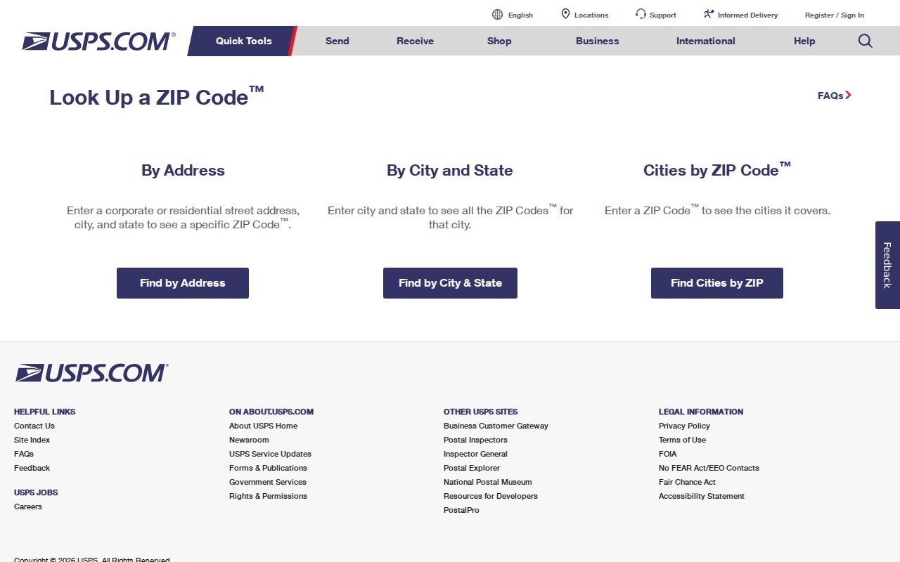
The USPS reference shows the delivery-verification step. After it, use Placer GIS to connect the address to a parcel and responsible custodian.
ZIP Code Boundaries and Placer County Limits
ZIP codes are not county lines, city limits, or parcel boundaries. A delivery area can cross a county edge. Granite Bay and Tahoe City are recognizable postal places without incorporated city governments. Roseville and Rocklin contain multiple ZIP areas. A county agency, city building division, Recorder, court, or elections office may be correct for different questions at the same address.
That mismatch is why a ZIP code directory should not promise “everyone in ZIP 95747” or a public owner list for “all of 95603.” The research found no verified Placer portal that returns every parcel in a ZIP through a public search. GIS can support spatial filtering, and lawful extracts may exist, but the access method and legal purpose must be confirmed.
Keep the layers separate. USPS validates delivery. GIS validates parcel and jurisdiction. The tax tool supplies the supported account key. The Recorder supplies a recorded transaction. Each layer answers a different question.
Find Residents by Placer County ZIP Code
A ZIP-based resident lookup works best as a narrowing sequence. Use a name, phone, or known street only to create a lead. Then verify the ZIP with USPS, locate the parcel in GIS, and choose the record custodian. If the goal is a historic household, switch to a city directory or census search rather than treating a current ZIP as timeless.
- Confirm the target address or postal place with USPS and save the returned ZIP.
- Use Placer County GIS to identify the parcel, APN, and city or county jurisdiction.
- Open the tax or assessment route supported by the parcel identifier and record situs separately from mailing.
- Use the Recorder index, permit custodian, court portal, or library source that matches the remaining question.
- Check the result against date, legal description, case role, directory edition, or other second attribute.
California voter status is not a shortcut for ZIP-wide searching. It authenticates the person completing the form. A voter-file request requires a qualified purpose, application, fee, and approval under Elections Code §2194.
Keep Placer ZIP and Situs Separate
Four labels should stay in four columns: ZIP, situs, mailing address, and legal description. ZIP belongs to postal delivery. Situs marks the physical location used by the tax account. Mailing points to correspondence. The legal description carries the land identity through subdivisions, changed APNs, and old documents. A single line of text can contain all four, but they do not mean the same thing.
That distinction protects a historical search too. A directory may print an old street name or number. A Sanborn sheet can show the building footprint. A deed can preserve the legal description. An assessment roll can show the owner at a dated moment. Pair them before deciding that two entries describe one place.
Note: A ZIP is the right clue for delivery; an APN or legal description is the stronger clue for land continuity.
Placer County ZIP Search Limits
The ZIP code directory is most useful when its limits are visible. It can group postal communities, flag a city-versus-county question, and guide a USPS check. It cannot create a public reverse list of households. The California Consumer Privacy Act and other record-specific rules also do not create a universal removal button for government records. Protected addresses and confidential voters must stay protected.
For a current address chain, continue with the Placer County street directory. For a person with a case, business, license, or vital-record question, use the official custodian and keep the record role narrow.
Use ZIP information for personal, lawful research, family history, civic understanding, and property curiosity. Do not use records to stalk, harass, intimidate, threaten, or repeatedly contact anyone.